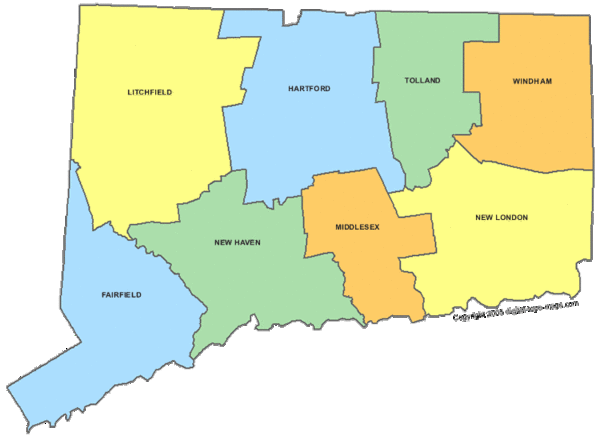
Connecticut Counties Map
near Connecticut
See more
 See more
Nearby Maps

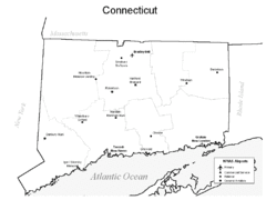
Conneticut Airports Map
0 miles away
Near Conneticut

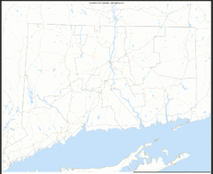
Connecticut Zip Code Map
Check out this Zip code map and every other state and county zip code map zipcodeguy.com.
0 miles away
Near Connecticut

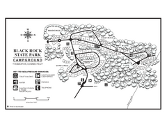
Black Rock Campground map
Map of the Campgrounds in Black Rock State Park.
4 miles away
Near watertown, connecticut

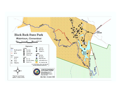
Black Rock State Park trail map
Trail map of Black Rock State Park in Connecticut.
4 miles away
Near watertown, connecticut

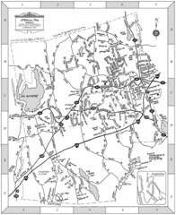
Middlebury, Connecticut Map
6 miles away
Near MIddlebury, CT

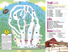
Mount Southington Ski Trail Map
Official ski trail map of Mount Southington ski area from the 2007-2008 season.
8 miles away
Near 396 Mount Vernon Road, Plantsville, CT 06479

 click for
 Fullsize

0 Comments
New comments have been temporarily disabled.